Mountains near me
Nearby Mountains Map
Nearby Peaks List
About Latakia
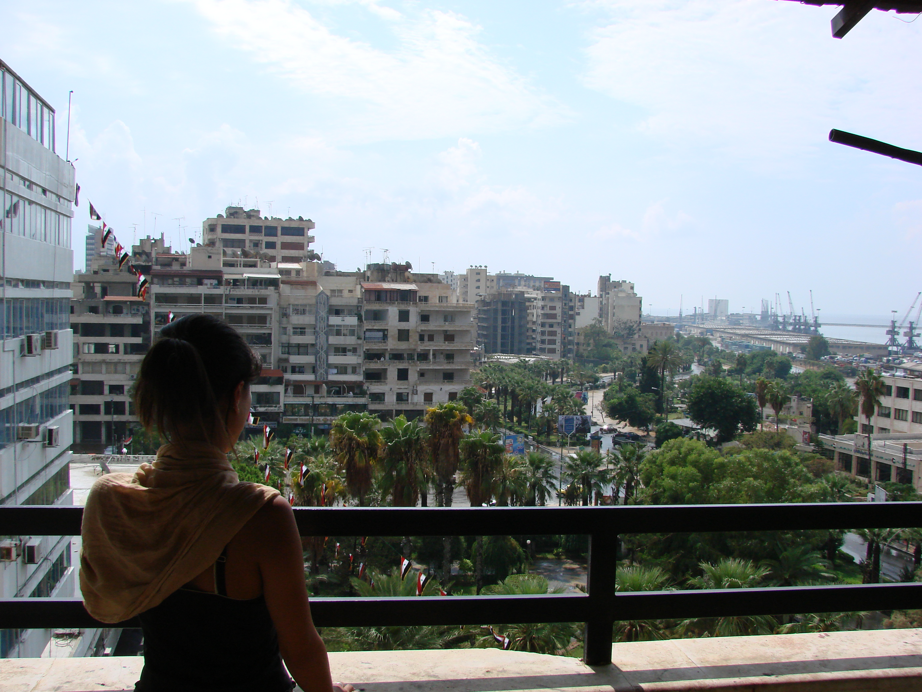
Latakia is the principal port city of Syria and capital city of the Latakia Governorate located on the Mediterranean coast. Historically, it has also been known as Laodicea in Syria or Laodicea ad Mare. In addition to serving as a port, the city is a significant manufacturing center for surrounding agricultural towns and villages. According to 2023 estimate, the population of the city is 709,000, its population greatly increased as a result of the ongoing Syrian Civil War, which led to an influx of internally displaced persons from rebel held areas. It is the 4th-largest city in Syria after Aleppo, Damascus, and Homs. It borders Tartus to the south, Hama to the east, and Idlib to the north, and Cape Apostolos Andreas, the north-eastern tip of Cyprus, is about 109 kilometres (68 mi) away.
Find the elevation of nearby mountain peaks
What mountains are near me?
This site will help you find the mountains and peaks near your current location. It also will also show you the elevation, distance, and bearing of the mountain or peak. You can also see the mountain range to easily give verbal diretions to help someone get to your address.
What is a mountain?
A mountain is a large landform that rises above the surrounding land in a limited area, usually in the form of a peak. A mountain is generally considered to be steeper than a hill. Mountains are formed through tectonic forces or volcanism. These forces can locally raise the surface of the earth. Mountains erode slowly through the action of rivers, weather conditions, and glaciers. A few mountains are isolated summits, but most occur in huge mountain ranges.
What is a peak?
A peak is the pointed top of a mountain. The term is used in the fields of geography, geology, and earth science to describe a mountain or hill that is clearly identified by its height, shape, and location.
How do you find nearby mountains?
Using this website you can find out the mountains and peaks near your current location. How does this site determine your precise elevation? The site receives GPS data from your phone. This satellite technology is also used to determine your precise location and help you navigate in apps like Google Maps.
Your phone acts as a receiver for satellite data. The time it takes for each of the satellite signals to reach the receiver are measured in relation to each other and to the speed of light. Because each of the satellites is in a different place, the three signals can be used to estimate a three dimensional position and can determine your position on the Earth to an extremely high degree of accuracy.
Using this site you can determine elevation for any location in the world, whether you are there or not. Simply enter an address anywhere in the world and you will be given its elevation in either feet or meters.
Peaks Atlas
Our peaks atlas has a list of cities in the United States to help you find the nearby mountains for any location in the country. You can also search for any location on Earth.