What is my elevation?
988 ft
More Information
About Council Bluffs, Iowa
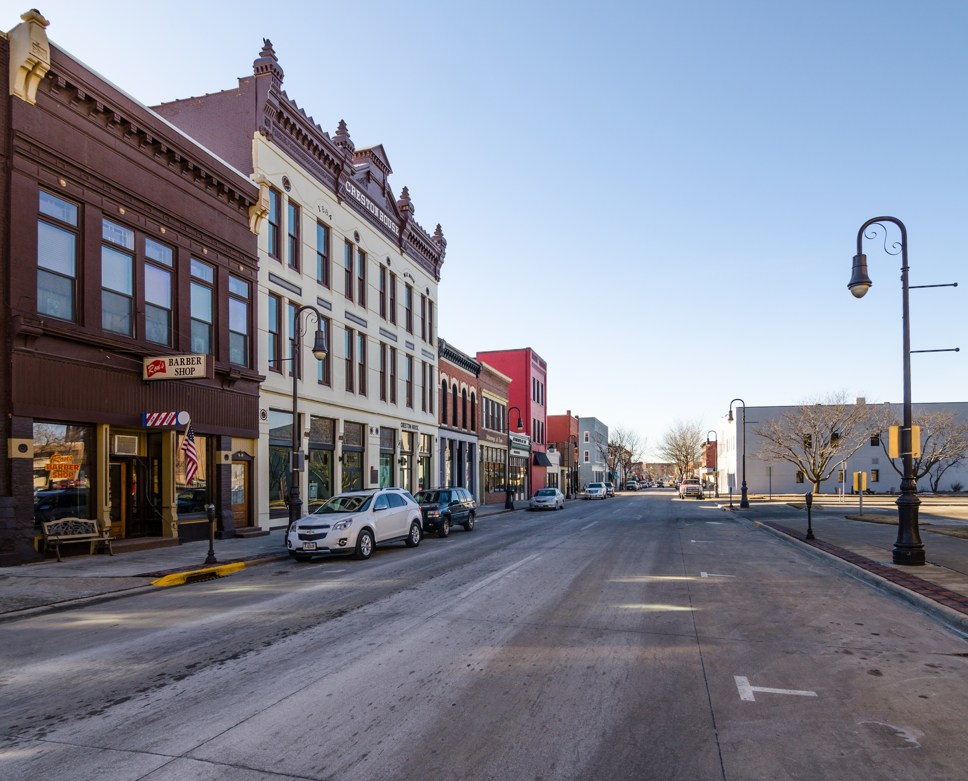
Council Bluffs is a city in and the county seat of Pottawattamie County, Iowa, United States. Its population was 62,799 as of the 2020 census, making it the state's tenth most populous city, and the most populous city in Southwest Iowa. The Omaha metropolitan region of which Council Bluffs is a part, is the 58th largest in the United States, with an estimated population of 967,604 (2020). It is located on the east bank of the Missouri River, across from Omaha, Nebraska. Until about 1853 Council Bluffs was known as Kanesville. Kanesville was the historic starting point of the Mormon Trail. Kanesville is also the northernmost anchor town of the other emigrant trails because there was a steam-powered boat which ferried the settlers' wagons and cattle across the Missouri River. In 1869, the first transcontinental railroad to California was connected to the existing U.S. rail network at Council Bluffs.
What is this?
Document not found, overwrite this content with #not-found slot in <ContentDoc>.