What is my elevation?
1,864 ft
Jalalabad
More Information
Boiling Point
208 °F
Percent of the way up Mt. Everest
6.42%
Coordinates
34.442, 70.436
About Jalalabad
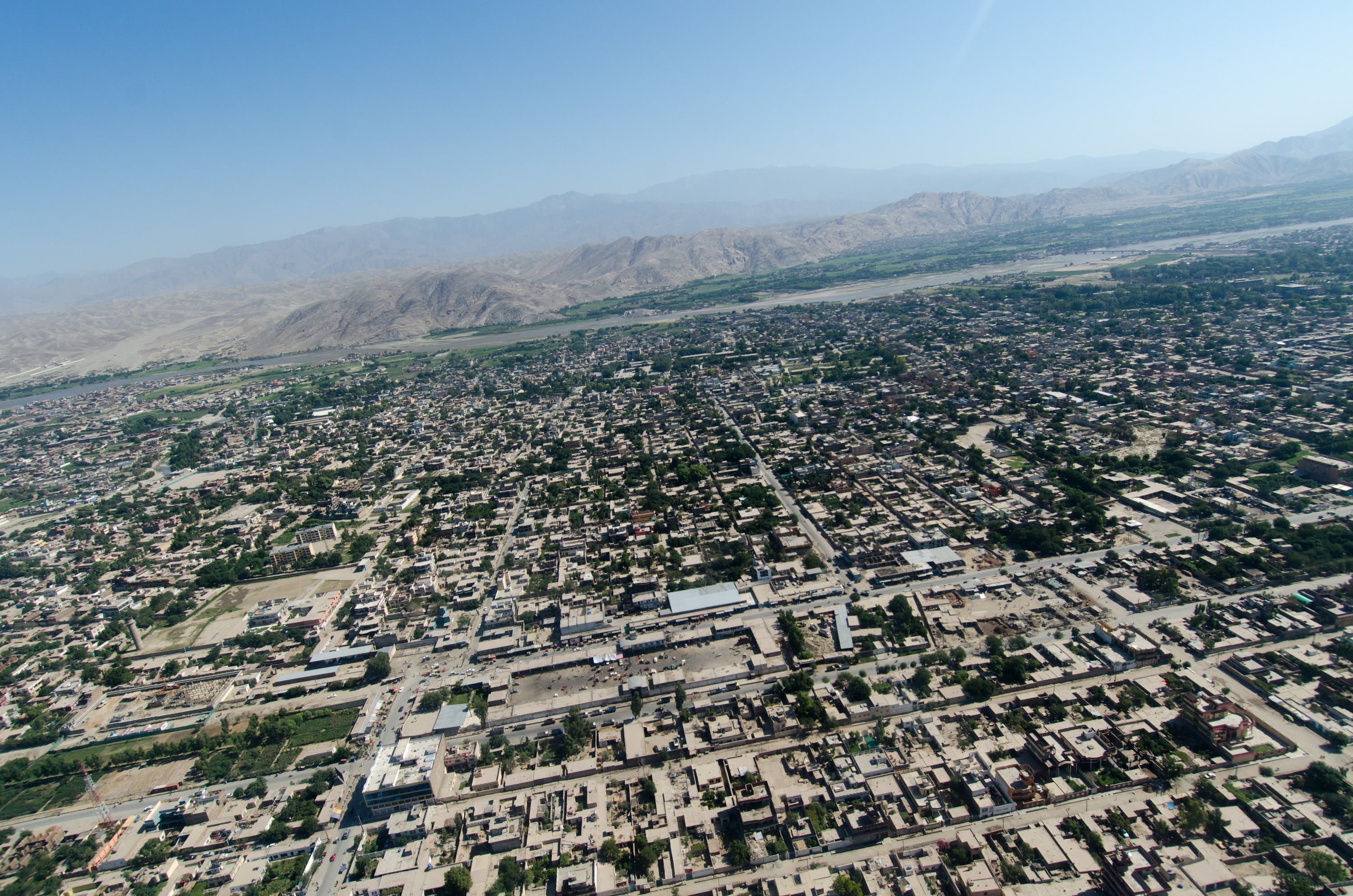
Jalalabad is the fifth-largest city of Afghanistan. It has a population of about 356,274, and serves as the capital of Nangarhar Province in the eastern part of the country, about 130 kilometres (80 mi) from the capital Kabul. Jalalabad is located at the junction of the Kabul River and the Kunar River in a plateau to the south of the Hindu Kush mountains. It is linked by the Kabul-Jalalabad Road to the west and Peshawar in Khyber Pakhtunkhwa, Pakistan, to the east through Torkham and the Khyber Pass.
What is this?
Document not found, overwrite this content with #not-found slot in <ContentDoc>.