Kansas County Maps
Find Kansas county and township maps.
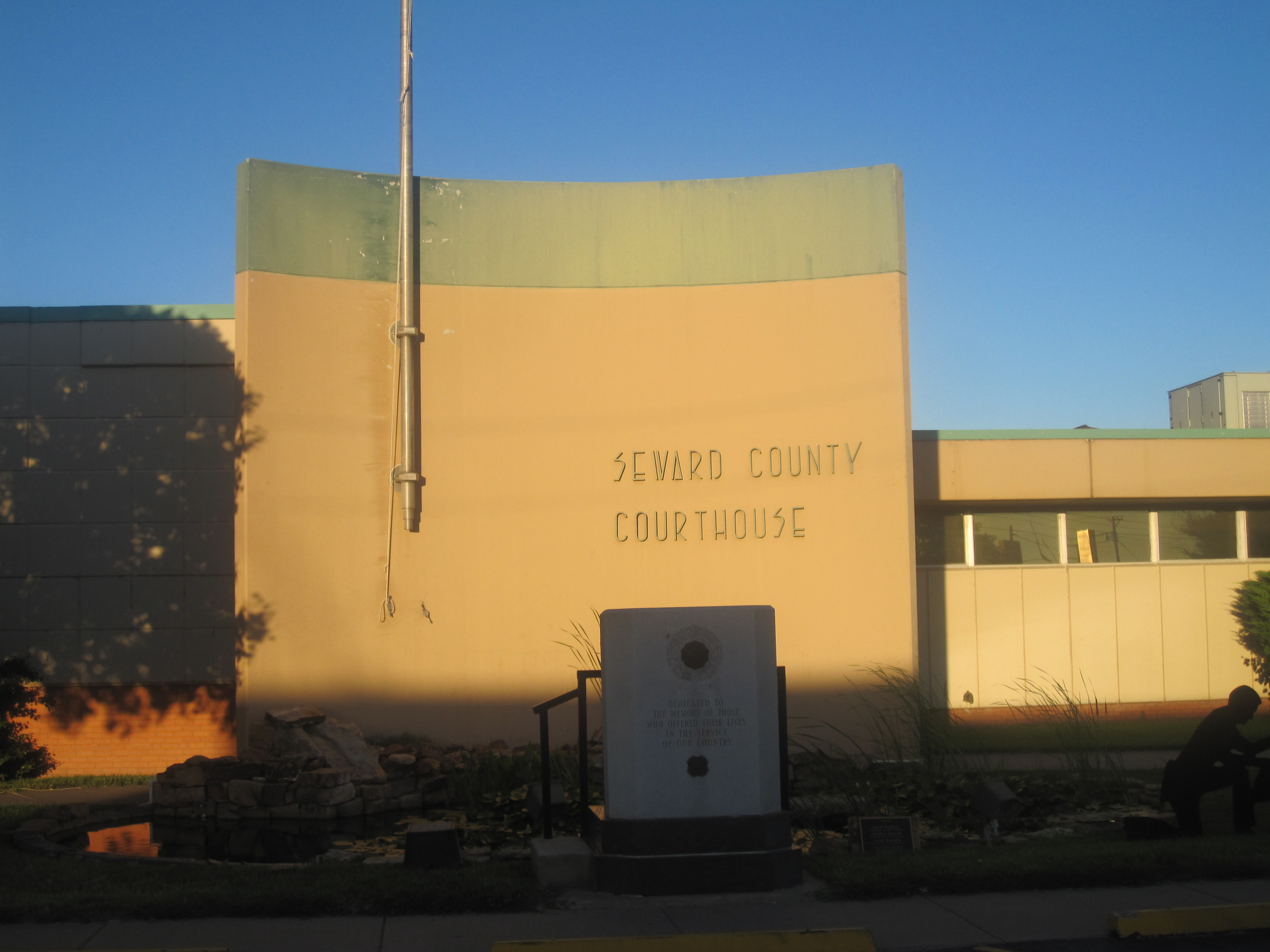
Seward County, Kansas
Find your Kansas County by searching for your address, or by clicking on the map.
Seward County, Kansas Map
An detailed map of Seward County. Click on a nearby County to view more information about that County.
Map of Townships in Seward County, Kansas
An interactive map of county subdivisions in Seward County. In Kansas, that can include Townships. Find what township you are in now.
Map of Counties in Kansas
An interactive map of Counties in Kansas. Click on a County to view more information about that County.
About Seward County, Kansas
Seward County is a county of the U.S. state of Kansas. Its county seat and largest city is Liberal. As of the 2020 census, the county population was 21,964. The county was formed on March 20, 1873, and named after William Seward, a politician and Secretary of State under Abraham Lincoln and Andrew Johnson.
What is this?
This site has an interactive map of Kansas Counties. Click on the map to find your Kansas county, and view more details. You can also search for your address and use your GPS to find your Kansas County.
Find what County you are in, and see official Kansas County resources and information. Find any county in the United Stated, along with resources and links to official County websites. See a County map and local details. Looking for what county you are currently in? Find out on this map or use your device GPS to see what county you are in.